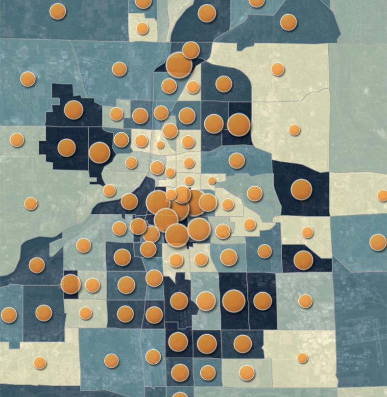
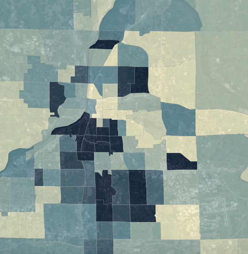
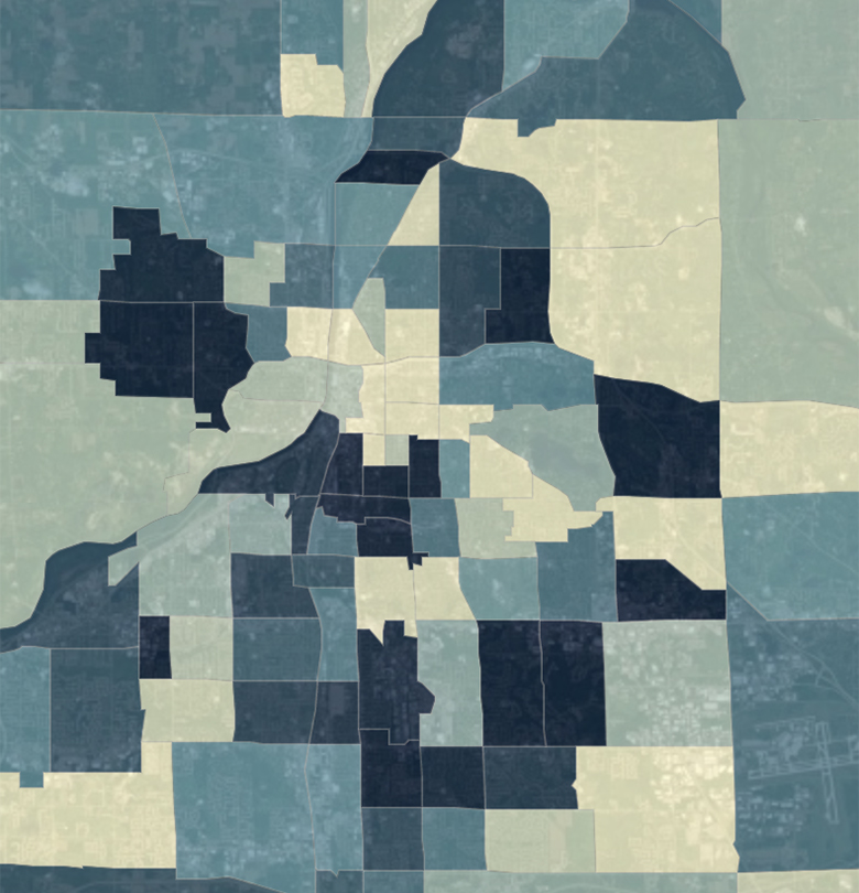
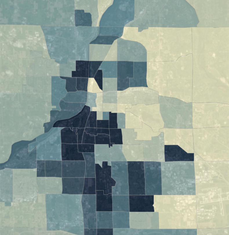
Interactive Data Maps of Grand Rapids
Below are interactive data maps for Kent County, Michigan. Click any map or link to view in a larger window. Then click any area to view the data and racial demographics of that section. A complete list of data maps is located at the bottom of the page.


Below is a complete list of all data maps:
Data source: CDC’s 500 Cities Project